
Research Deep Dive: Minneapolis Skyway

the challenge
The Minneapolis Skyway system is an intricate web of walkways that connect many of the major buildings in the downtown area. The first portion of the skyway was built in 1962; it has continued to grow organically since then. My challenge was to design a research protocol that enabled me to understand the experience of different skyways users and determine the effectiveness of the existing wayfinding tools.
Timeline: One week
My role: Researcher, Participant Recruiter, Synthesizer
methods
Cognitive Walkthrough
Custom Ethnographic Method (including Photo Diary)
Surveys
Competitive Audit
Tools
Camera
Various Smart Phones
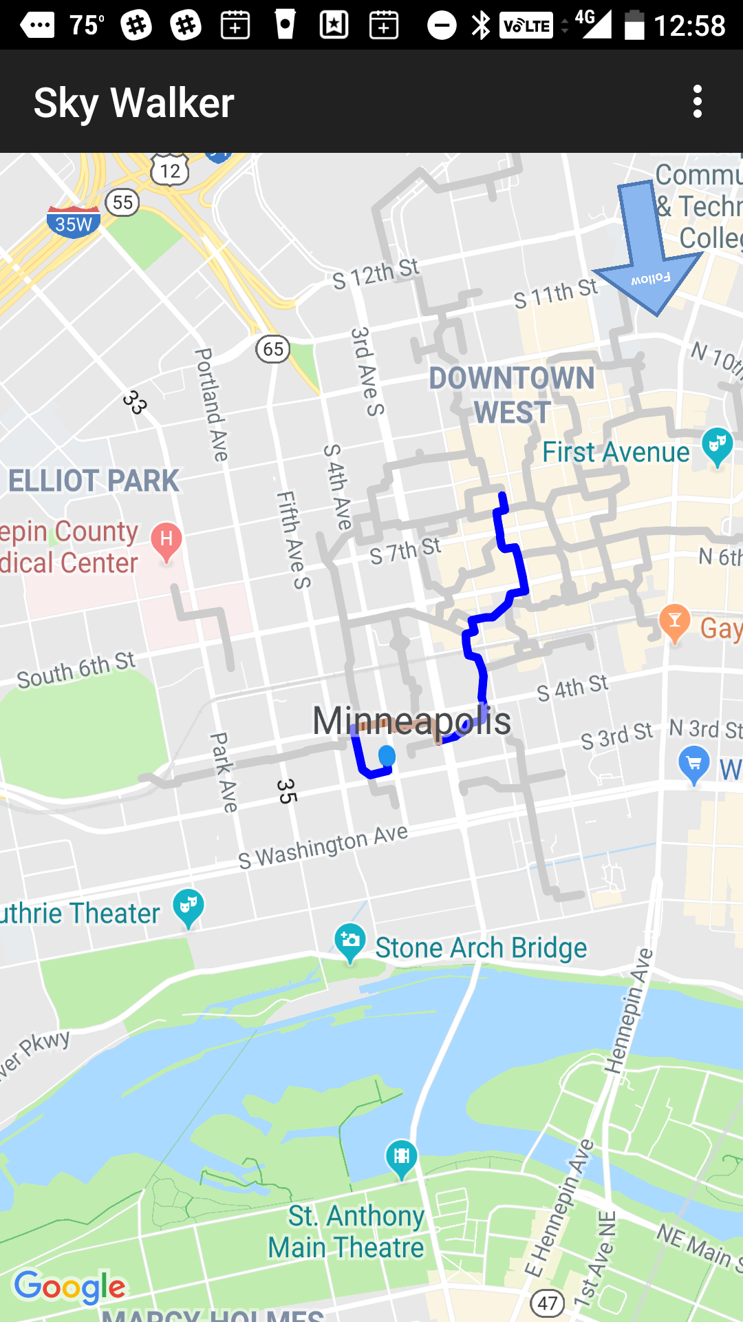
Sky Walker app
Google Forms
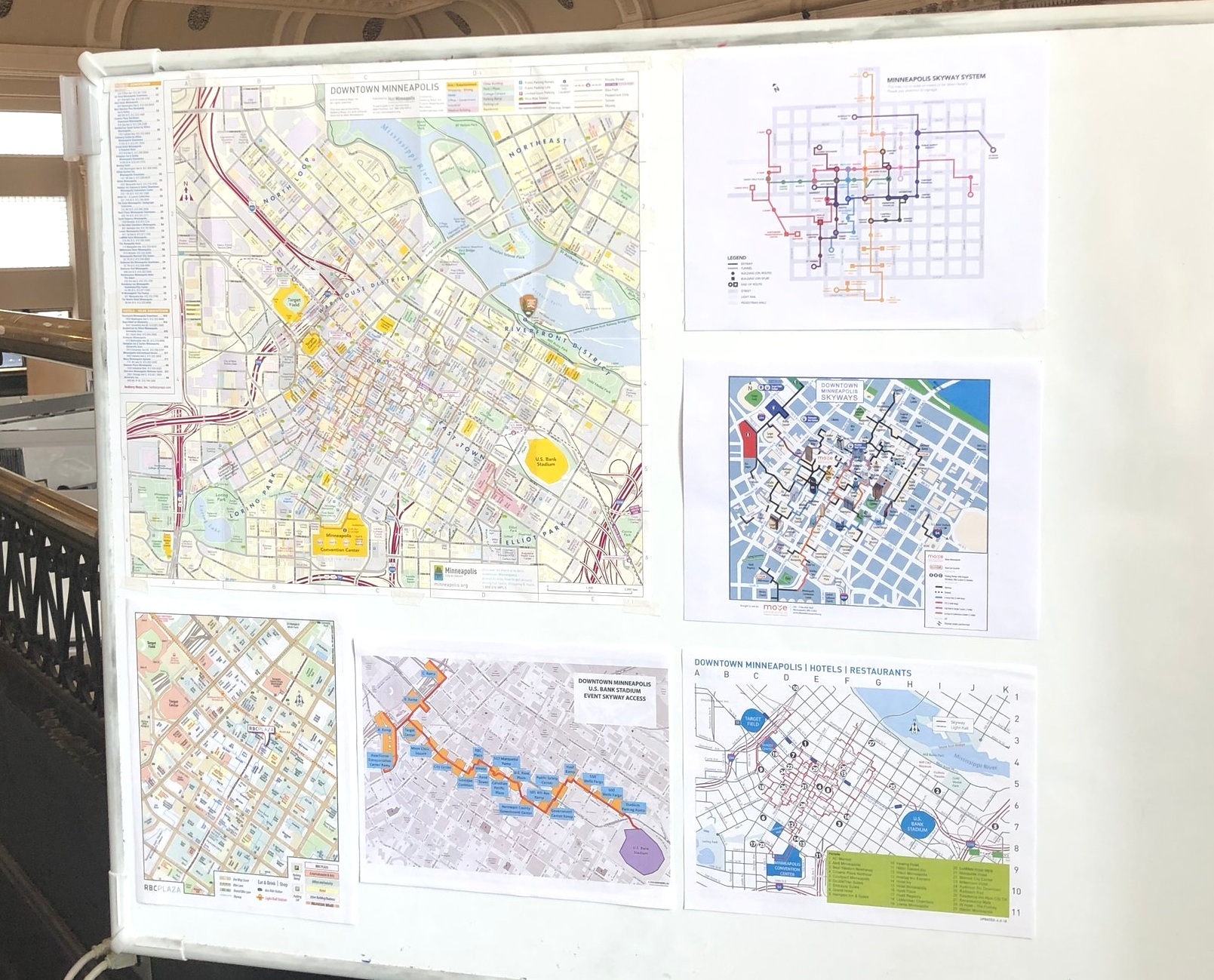
Learning the landscape (or skyscape)
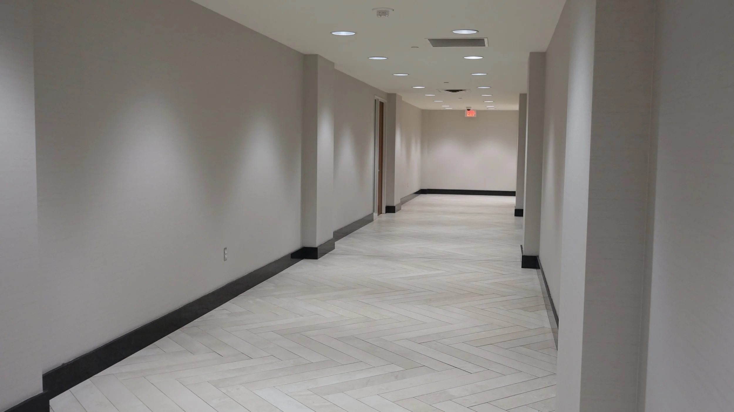
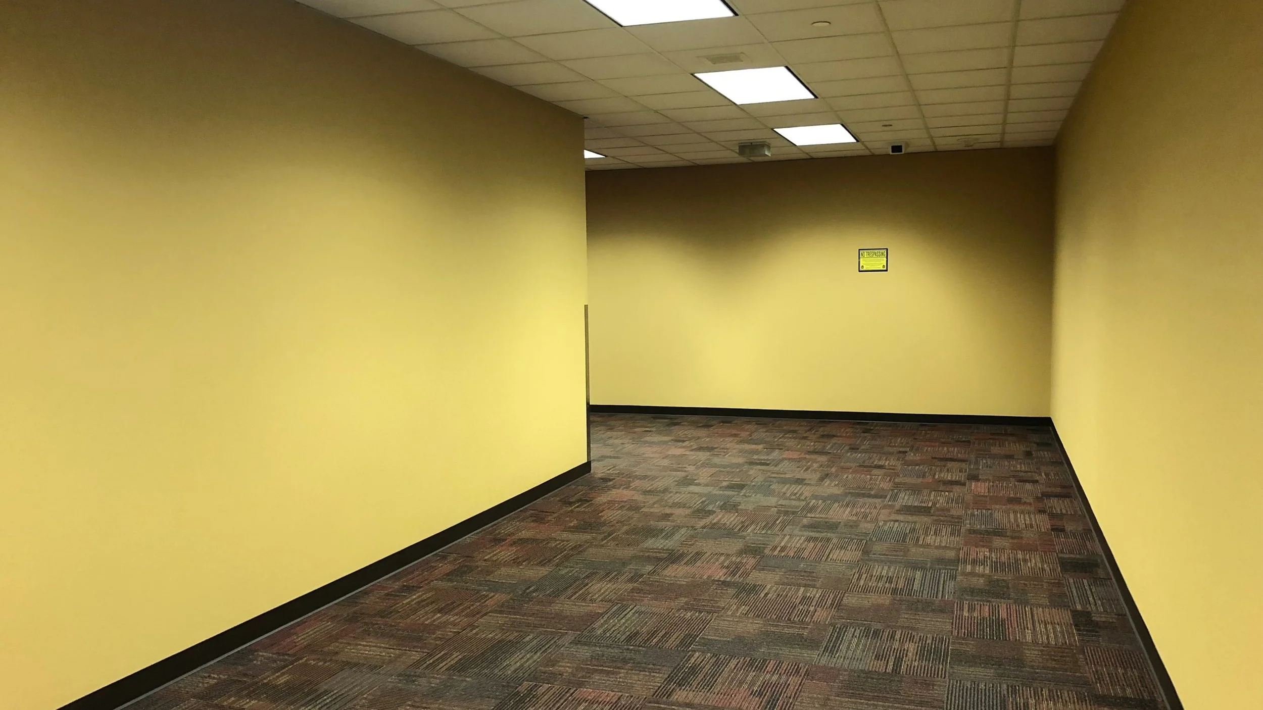
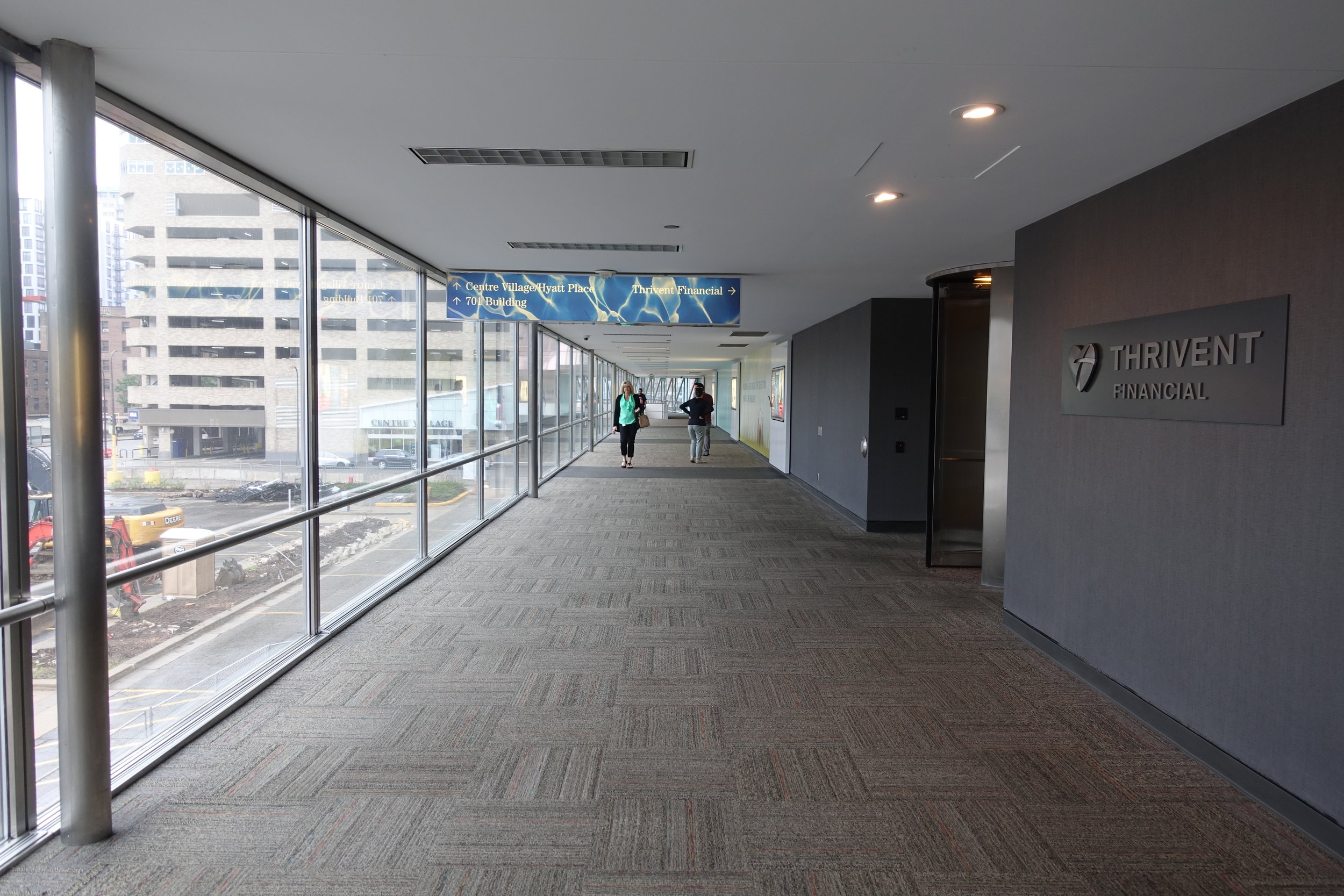
I began by familiarizing myself with the 11 miles of problem space. In addition to delving into the existing documents and articles, I clocked nearly 10 hours performing a cognitive walkthrough of the the skyway system. Along the way, I took notes, observed fellow users, and photographed an array of elements, taking special note of potential pain points.
Unclear Pathways:
Inconsistent Signage:
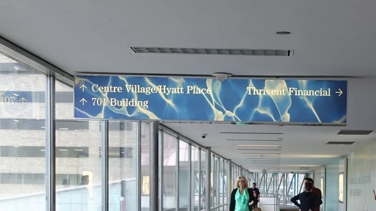


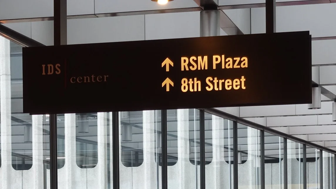
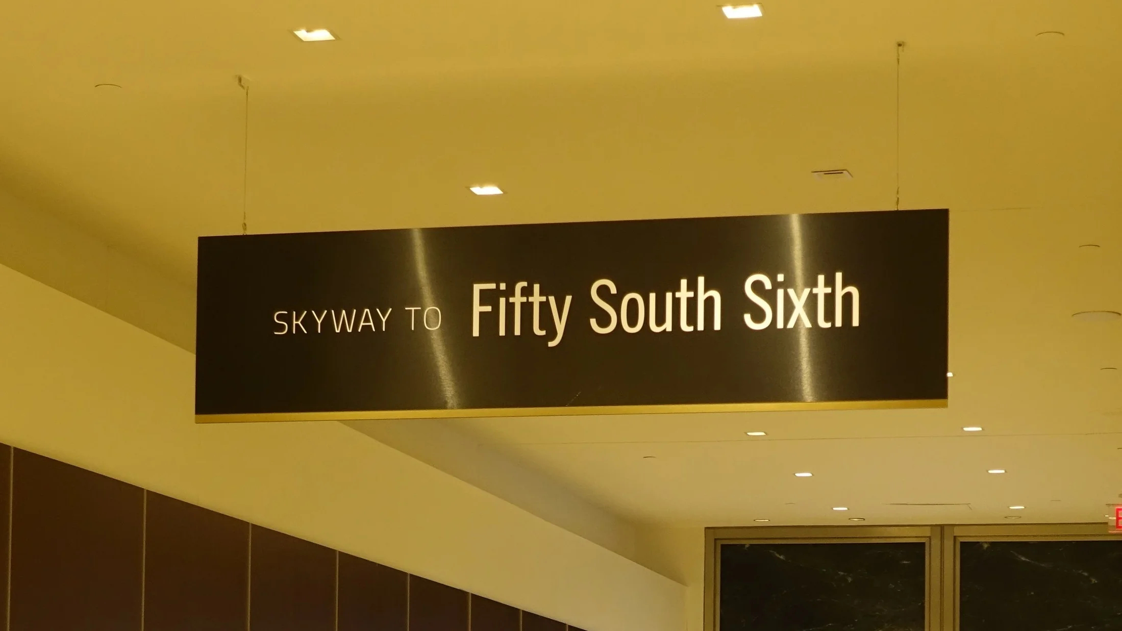

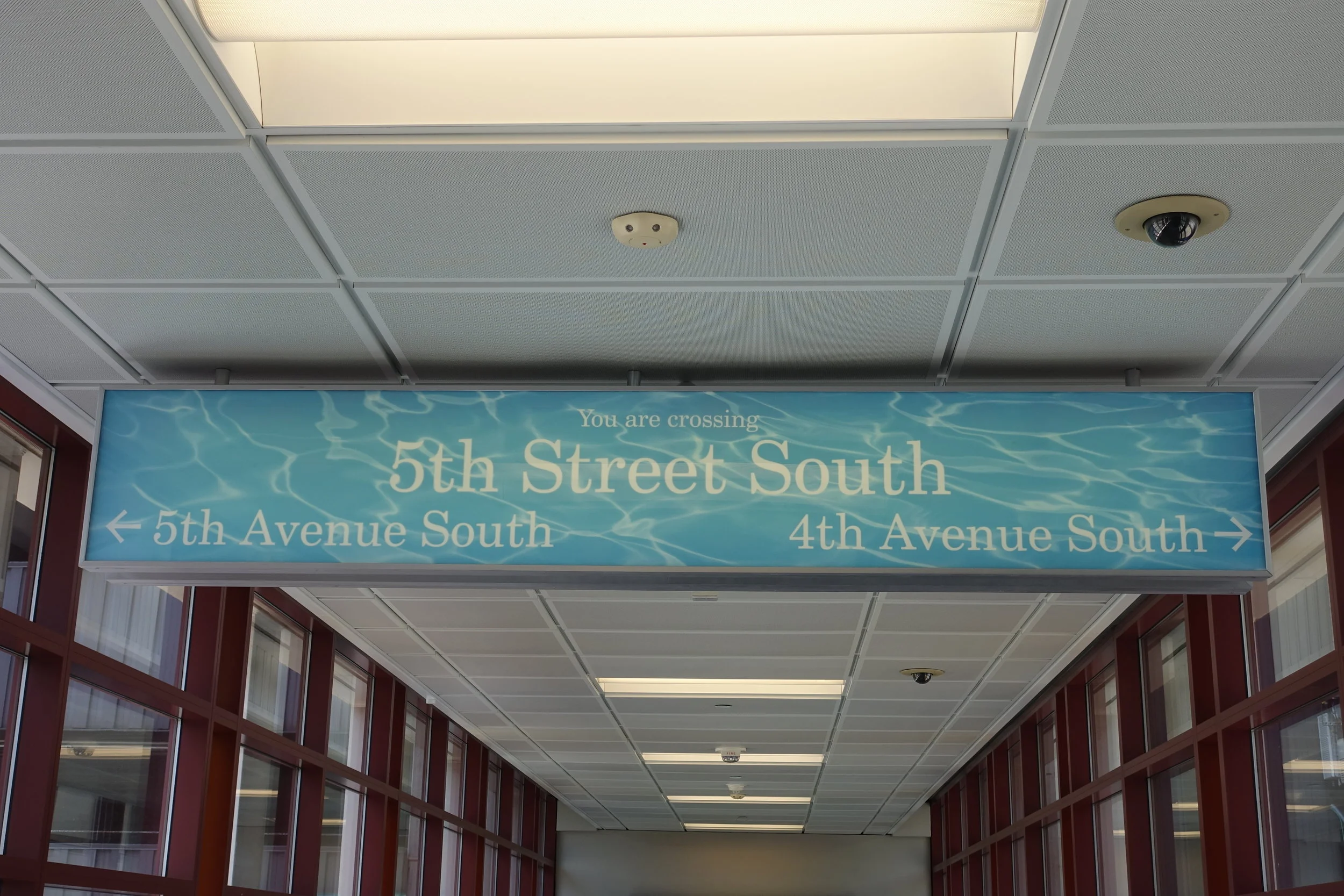
In designing my research project, I made sure to expose participants to these features of the skyway system.
A Skyway Treasure Hunt
After studying the existing tools and challenges, I created a custom research method that sent participants on a “treasure hunt” of sorts.
Research participants were equipped with a gift card, an incentivizing cookie, and instructions to download the Sky Walker app on their smart phones. Their mission was to walk from the Grain Exchange Building to the Caribou Coffee in the Baker Center using the skyway and the navigation tools available to them. In ski-terms, this was a blue square-level challenge: not easy but achievable.
Along the way, participants documented the tools that helped them, the places where they felt unsure of where they were, and how they felt throughout the process.
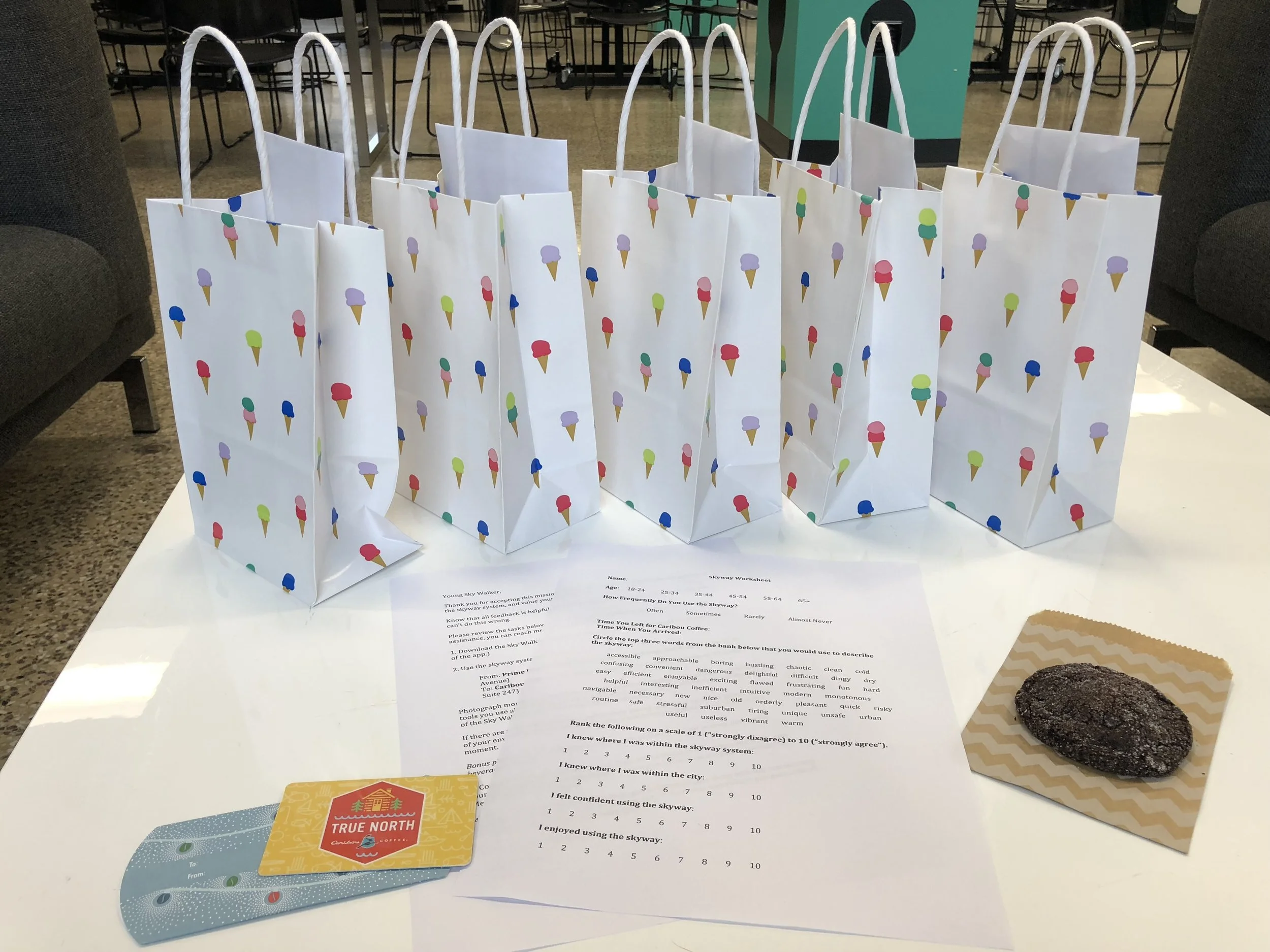


Exit Survey
Following the completion of their mission, participants noted how long their journey took and filled out an exit survey. The aim of this was to gather qualitative insights that would inform the next round of research.
In addition to capturing demographic information, the survey asked participants about their subjective experience of using the skyway. They were asked to rank their levels of confidence, awareness, and satisfaction. They were also asked to selected adjectives from a word bank that reflected their experience.
Along with participants’ photographs and observations, this survey gave a more textured understanding of both the expert and novice skyway-users’ experience.
Next steps
After collecting results from my initial research project, I compiled all the different wayfinding resources I could locate for the skyway.
Based on the pain points I identified (illegibility, lack of confirmation, inconsistency), I created a series of design concepts that proposed a variety of maps and app features. I then followed up with my research participants to asked them to rate the utility and desirability of each concept.
Their responses, synthesized with Kano Analysis, thus informed the direction of the design solution.